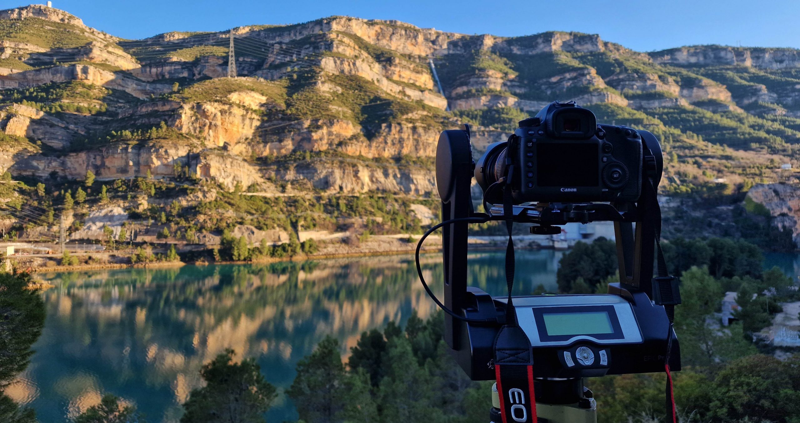
 (PhotoMonitoring) Panorama Photogrammetry by Canon 5DRs mounted on Gigapan in a Geodetic Network for Deformation Monitoring Over Long Distances, Cortes de Pallas, Valencia, Spain.
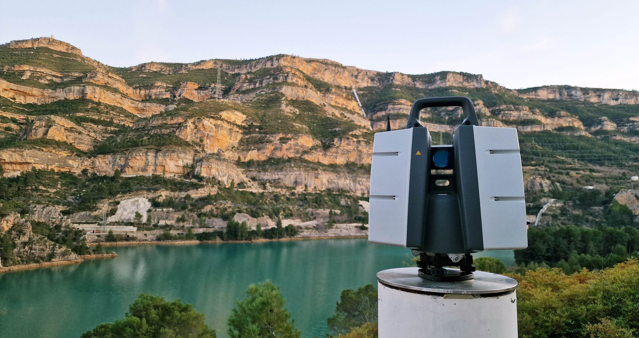 (GeoMonitoring) Laser Scanning by Leica P50 mounted on Fixed Pillar in a Geodetic Network for Deformation Monitoring Over Long Distances, Cortes de Pallas, Valencia, Spain.
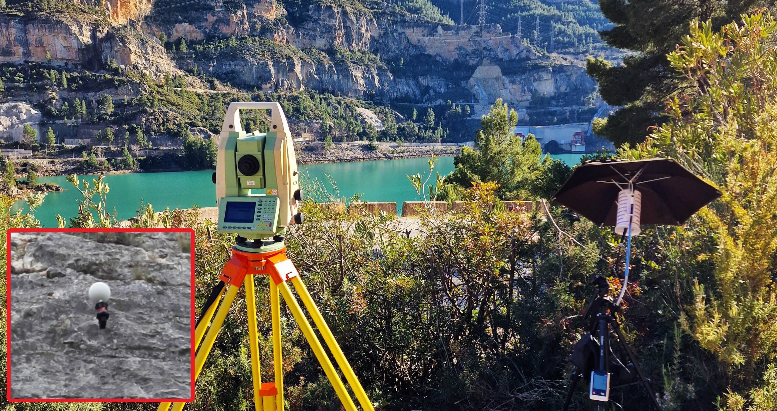 (GeoMonitoring) Geodetic Surveying by Leica Automatic Total Station in a Geodetic Network for Deformation Monitoring Over Long Distances, Cortes de Pallas, Valencia, Spain.
 GeoMonitoring + PhotoMonitoring .:. TLS + PPh
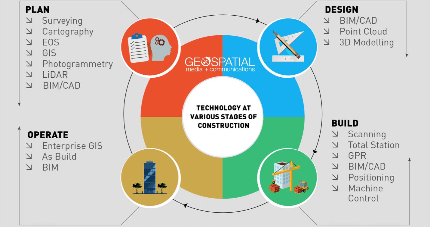 Geospatial technology plays an important role in the construction of infrastructure.
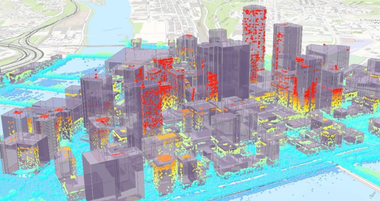 GIS and BIM for the construction of infrastructure.
 Geomatics services (Satellite Geodesy) for the construction of infrastructure.
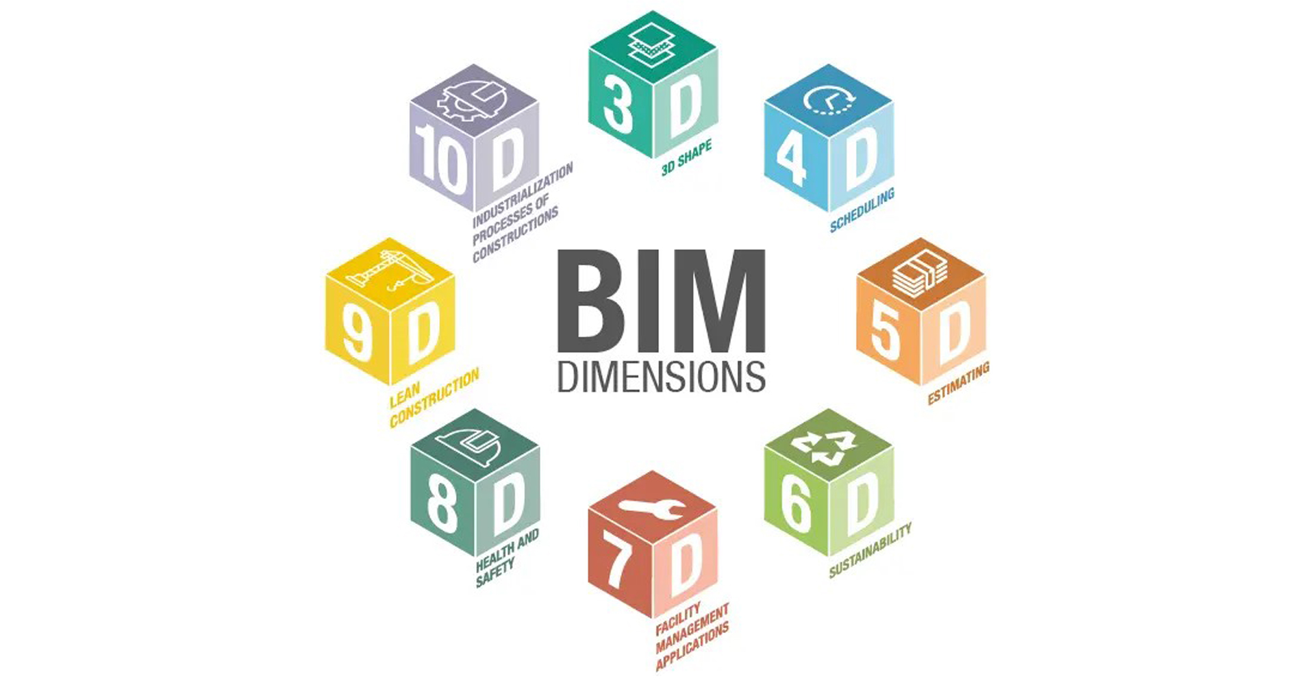 The Dimensions of BIM – 3D, 4D, 5D, 6D, 7D, 8D, 9D, 10D
